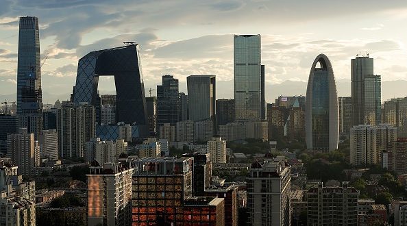
A new research using satellite imagery has revealed that parts of Beijing, especially its central business district, are sinking by up as much as 11 cm, or more than four inches each year.
The team behind the research, which used satellite imagery for its findings, say the city’s central Chaoyang business district is among the worst-affected areas, subsiding at four inches a year.
Because different areas are sinking at different rates, the subsidence is a major threat to the city’s infrastructure and poses a particular risk to its high-speed rail network.
Some 20 million people live in Beijing, says The Guardian, and they are placing an excessive demand on the city’s underground water reserves. China’s capital sits at the centre of an arid plain, so wells are sunk to locate water.
Many of the Beijing’s tens of thousands of wells are used for farming or landscaping. The state regulates the extraction of water but enforcement is “doubtful” and “inconsistent”, says leading environmentalist Ma Jun.
China started looking for an engineering solution to Beijing’s water crisis some years ago, says The Guardian – and a £48bn network of canals and tunnels was completed last year.
Some water wells have already been phased out and a 2015 study recommended that drilling wells near high-speed rail lines should be banned.
The international team behind the study, published in the journal Remote Sensing, are now examining in detail the potential future effects of the subsidence.
They told The Guardian they expected to publish results next year, saying: “We are currently carrying out a detailed analysis of the impacts of subsidence on critical infrastructure (eg high-speed railways) in the Beijing plain.”
Agencies/Canadajournal
 Canada Journal – News of the World Articles and videos to bring you the biggest Canadian news stories from across the country every day


